Geological maps of Iceland
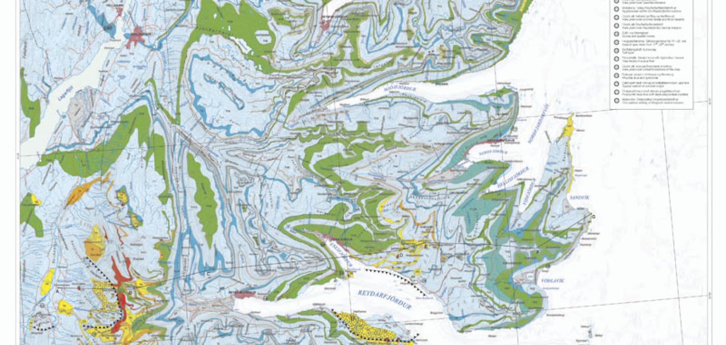
The Icelandic Institute of Natural History is legally bound to prepare geological maps of Iceland. Geological research is a prerequisite for geological mapping, which in turn provides the foundation for land-use planning and creation of protected areas. It is necessary to complete geological mapping for all regions of Iceland and revise older maps. Bedrock geology and tectonics maps of Iceland are revised and published regularly. Geological mapping of specific areas of Iceland at a smaller scale is carried out in connection with research projects. Mapping landslides and understanding their behaviour is extremely important for minimising the risk of accidents and material damage, and this is a necessary step for land planning.
IINH Contacts: Birgir V. Óskarsson