Special Protection
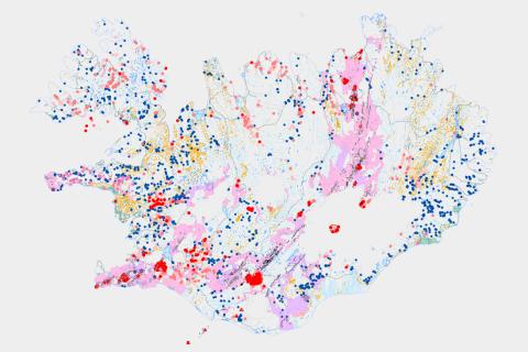
Natural phenomena granted special protection for ecosystems and geoheritage sites under Article 61 of Act no. 60/2013 on nature conservation are shown in a map viewer.

The Icelandic Institute of Natural History maintains a record of the natural phenomena listed in the legislation with the exception of birch forests, which are the responsibility of the Icelandic Forest Service. The purpose of the map viewer is to provide an overview of these natural phenomena, as a supplement to the Natural Conservation Register.
The map viewer contains geospatial information on:
- waterfalls and lakes;
- wetlands, salt marshes, and mudflats;
- geothermal sites;
- craters and postglacial lava fields; and
- lava caves.
The accuracy of the data ranges from 1:500,000 to 1:25,000.